El Niño could push global warming past 1.5℃ – but what is it and how does it affect the weather in Europe?

By Manoj Joshi, University of East Anglia
Scientists have warned that 2024 could mark the year when global warming exceeds 1.5℃ above pre-industrial levels. They attribute these predictions, at least in part, to the emergence of an El Niño event.
An El Niño is declared when the sea surface temperature in large parts of the central or eastern equatorial regions of the Pacific Ocean warms significantly – sometimes by as much as 2℃. This additional heat in turn warms the atmosphere. During El Niño years, this warming contributes to a temporary rise in the global temperature by a fraction of a degree.
You can listen to more articles from The Conversation, narrated by Noa, here.
El Niño primarily affects weather in the tropics. Intense downpours that would usually fall on parts of south-east Asia or eastern Australia instead fall on the west coast of South America. This change can cause major drought and flooding on different continents, affecting food production and even weather-dependent sports like cricket.
But changes to the weather in these regions can have knock-on effects all over the world. Even thousands of kilometres away in northern Europe, El Niño tends to cause colder and drier winter weather.
Yet many factors affect European weather, especially during winter. So care is needed when linking unusual weather events in Europe to El Niño.

What is El Niño?
The Pacific Ocean spans over 13,000 kilometres from its eastern edge on the South American coast to its western margins near Indonesia. The sea surface temperature changes considerably over this vast distance.
Normally, the eastern edge of the Pacific Ocean is more than 5℃ colder on average than the western Pacific. This is primarily due to the upwelling of cold water near South America, a process in which colder water is pulled up from deeper down in the ocean.
However, this temperature contrast flattens or steepens every few years in a natural cycle called the El Niño southern oscillation (Enso). During this cycle, the strength of trade winds that blow westwards across the Pacific can strengthen or weaken, causing more or less cold water to upwell and flow along the equator.
We’re currently entering a period where the eastern Pacific will be warmer than it usually is – an El Niño event. Forecasts suggest that a part of the equatorial Pacific, regarded as a key indicator of Enso, has a 50% chance of warming by over 1.5℃ by the start of 2024.
La Niña is the opposite phase of the cycle. It is instead characterised by cooler sea surface temperatures in these waters. This year brought an end to three successive La Niña years.
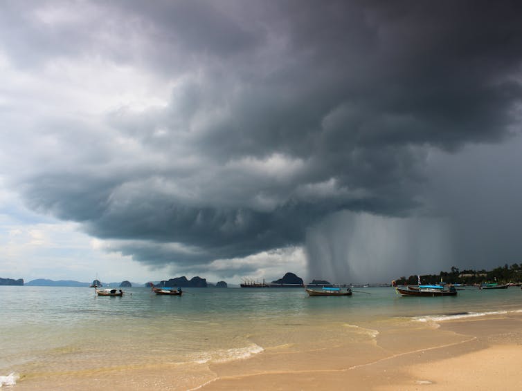
The western tropical Pacific region has some of the warmest ocean temperatures on Earth. Humid air tends to converge here, creating unstable conditions characterised by turbulent rising air known as convection by meteorologists. The result of this is towering clouds and intense rainfall.
The region with the highest ocean temperature tends to experience the greatest amount of rainfall. As the warmest ocean temperatures shift eastward during El Niño, so too does the location of maximum cloud cover and rainfall.
Each El Niño event is different. Some mainly warm the eastern Pacific Ocean, such as the 1997-98 event. Others cause more warming in the central Pacific, like in 2009-10.
How does it affect Europe’s climate?
Towering clouds and intense rains in the western Pacific create atmospheric waves known as Rossby waves. These waves extend over thousands of kilometres and travel into and along the eastward-flowing jet streams that encircle the planet’s mid-latitude regions. When the Rossby waves interact with the jet streams, they cause them to undulate.
As unsettled weather in the Pacific moves eastwards during an El Niño event, it influences the location of the peaks and troughs of these Rossby waves. This results in subtle changes in the positions of the jet streams. These alterations in the jet streams, which play a significant role in shaping weather patterns, can have notable effects on weather conditions worldwide.
Depending on the specific movement of the jet stream in a particular area, the effect can either lead to warmer or cooler weather, despite El Niño warming the global climate as a whole. El Niño tends to slightly warm Europe in summer and slightly cool northern Europe in winter.
External noise
However, a colder-than-average winter in Europe is not guaranteed during an El Niño event. Europe’s winter climate is affected by various factors beyond El Niño, including conditions in the Atlantic, the amount of Arctic sea ice and the state of the stratosphere 15-40km above us (which is itself affected by El Niño).
For instance, the quasi-biennial oscillation – a regular reversal of winds that blow high above the equator – can alter wind patterns in the stratosphere. This can subsequently affect the position of the North Atlantic storm track, which influences Europe’s winter weather.
But even then, the underlying warming trend caused by climate change is making higher temperatures more probable in all seasons. Together, these other factors make any climatic signals from El Niño harder to detect and forecast. Caution must therefore be exercised before attributing anomalies in European winter weather to El Niño alone.

Don’t have time to read about climate change as much as you’d like?
Get a weekly roundup in your inbox instead. Every Wednesday, The Conversation’s environment editor writes Imagine, a short email that goes a little deeper into just one climate issue. Join the 20,000+ readers who’ve subscribed so far.![]()
Manoj Joshi, Professor of Climate Dynamics, University of East Anglia
This article is republished from The Conversation under a Creative Commons license. Read the original article.


